UK Otter Survey Trends: What Recent Monitoring Means for River Conservation
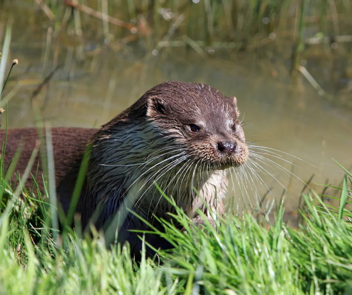
An otter slipping under a town-centre bridge still stops people mid-sentence. That surprise is useful evidence in itself. Otters vanished from large parts of Britain within living memory, and the surveys that track them have become one of the most dependable long-term records we have of the health of our rivers. The latest rounds of national monitoring tell a story of recovery — but an uneven, incomplete one that is still being written.
What the national surveys actually measure
The method behind national otter monitoring in Britain is deliberately simple. Surveyors walk set stretches of bank — commonly around 600 metres — often starting from a bridge, and search for signs: spraints (otter droppings), footprints in soft mud, slides, and possible holts among tree roots, stonework or piles of debris. A site is recorded as positive if any of those signs turn up.
That gives a picture of distribution, not population size. It can show that otters have returned to a catchment; it cannot tell you whether that catchment holds two animals or twenty. Rainfall, how quickly spraints decay and the experience of individual surveyors all add noise. What makes the results worth having is repetition: the same stretches, checked the same way, across decades.
So when monitoring reports otters in more places, the honest reading is about range. Numbers are a separate question, and a far harder one to answer.
Recovery, with uneven edges
The low point came in the mid-twentieth century. Otter populations across England and Wales collapsed: organochlorine pesticides such as dieldrin built up through the food chain, while pollution and habitat loss did further damage. Scotland's populations held on considerably better. The turnaround came from several directions at once — those pesticides were restricted and eventually withdrawn, water quality improved as industrial discharges and sewage treatment were tightened, and otters gained legal protection in stages from the late 1970s, consolidated by the Wildlife and Countryside Act 1981.
Each survey cycle since has recorded otters spreading back through Wales, northern and western England and the Midlands, reappearing in rivers where they had been absent for a generation. Some catchments were recolonised briskly; others have taken much longer. Broadly speaking, the west and north remain the strongholds, while eastern and heavily modified rivers have been slower to recover — often because they offer less natural bank structure, lower fish numbers or more barriers in the channel.
The most defensible reading of recent monitoring is that range recovery has continued across much of Britain, though the pace looks flatter in some areas than during the early decades of the comeback. That flattening deserves attention, because it may reflect real limits — food, habitat and pollution — rather than simply the natural end of a recolonisation wave.
The pressures now showing up in the record
Otter data is never only about otters. Several themes keep surfacing alongside it:
- Road mortality. Otters travel along water, and bridges and culverts funnel them onto carriageways. Casualty records help identify hotspots, and hotspots are where mitigation money does the most good.
- Persistent pollution. A river can look clean and still carry a chemical load. Industrial chemicals, pharmaceuticals, microplastics and runoff from roads and fields accumulate in fish and crustaceans — and then in the animals at the top of the food chain.
- Water quantity. Abstraction and dry summers shrink rivers into isolated pools, crowding otters into less habitat and pushing them overland, and across roads, more often.
- Fragmentation. Weirs, culverts and straightened, concrete banks interrupt the continuous corridor an otter needs to move, feed and find a mate.
- Disturbance and conflict. Some fisheries still view otters as a problem, and illegal killing continues in places. Most conflicts are better tackled with practical measures — fish refuges, well-designed ponds, sensible netting — than by removing a protected species.
Why otter records are really river records
Otters are adaptable predators, but they are demanding about the basics: clean water, a reasonable supply of fish and crayfish, connected channels, bankside cover, quiet resting places and limited disturbance. A catchment that supports them usually supports a great deal else, from kingfishers and dippers to bullhead and lamprey.
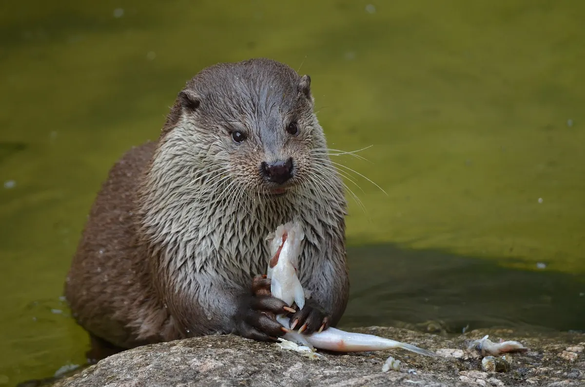
Spraint analysis adds another layer. Because undigested bones, scales and otoliths survive in droppings, examining them can reveal what otters are eating and, indirectly, how fish communities are faring. In that sense, a well-run otter survey is a low-cost health check on a whole river system.
What this means for river conservation
If otter recovery is to keep going rather than plateau, the practical work looks like this:
- Protect the corridor, not just the channel. Trees, root plates, marginal plants and boulders provide cover and holt sites. Take them out and you remove the reason otters stay.
- Soften or remove barriers. Fish passes, easements and ledges in culverts rejoin stretches of river that have been separated for years.
- Design roads for animals. Dry ledges in culverts, mammal shelves under bridges and fencing that steers wildlife towards safe crossing points all reduce casualties. Use casualty records to decide where to start.
- Tackle pollution at source. Agricultural runoff, wrongly connected drains, storm overflows and road drainage are all fixable problems, and all of them end up in otter habitat.
- Keep water in the river and give it room. Sensible abstraction, natural flood management and reconnected floodplains benefit fish, otters and people downstream.
- Maintain the monitoring. Repeatable surveys and validated volunteer records are what turn scattered sightings into a trend.
One caution: otters and their resting places are legally protected, and that protection applies to maintenance and repair work as much as to new development. If a project could affect an otter or a holt, take specialist ecological advice early and check what licence or consent the relevant statutory nature conservation body requires.
How to add to the picture
Good records are the foundation of all of this, and you do not need a survey licence to contribute. Learn the signs: spraints left on flat rocks, bridge ledges and grassy tussocks, often dark and tarry and frequently described as smelling faintly of fish, hay or jasmine tea; broad five-toed prints with visible webbing in soft mud; and well-worn slides down steep banks. Note the date, an accurate grid reference and a photo with something for scale, then send it to your local environmental records centre or submit it through a national wildlife recording platform.
Keep your distance while you do it. Stay back from holts, put dogs on a lead near likely resting sites, and never handle a cub — a young otter found alone
Photo: Pixabay / Pexels